 vesseltracker.com
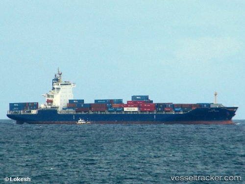
 HMM MANILA
Current Status
Where is the vessel?
HMM MANILA is currently in 34 nm S of Kukdo, based on AIS data received about 3h ago.
Latest AIS update:
Current position: 33.98403° N, 128.28439° E (34 nm S of Kukdo)
Average speed (last 7 days): Loading…
Average speed (last 30 days): Loading…
Vessel profile: HMM MANILA is a Container Ship with dimensions m x m.
This page combines live AIS, route history, probable destination signals, nearby traffic, and port activity for practical vessel monitoring.
The current position of vessel HMM MANILA is 33.98403 lat / 128.28439 lng. Updated: 2026-04-27 11:49:47 UTCNearest reference points:
- 25 nm S of Kukdo
- 35 nm E of Geomundo
- 33 nm W of IZUHARA
Currently sailing under the flag of South Korea ![]()
Details:
Live Vessel HMM MANILA Analytics (details, animations, etc.)
Recent AIS points (UTC):
2026-04-27 10:03:26 UTC · 34.17423, 128.62292 · SOG 12.6 kn · COG 230°2026-04-27 10:25:08 UTC · 34.14188, 128.56895 · SOG 12.3 kn · COG 235°
2026-04-27 11:22:36 UTC · 34.04522, 128.36646 · SOG 12.1 kn · COG 230°
2026-04-27 11:49:47 UTC · 33.98403, 128.28439 · SOG 12.2 kn · COG 227°