 vesseltracker.com
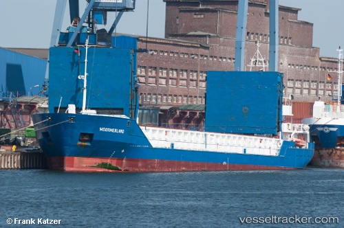
 Leine
Leine
Current Status
Where is the vessel?
Leine is currently in Near Casablanca, based on AIS data received less than 1h ago.
Latest AIS update:
Current position: 33.61065° N, 7.60774° W (Near Casablanca)
Average speed (last 7 days): Loading…
Average speed (last 30 days): Loading…
Vessel profile: Leine is a Multi Purpose Carrier with dimensions 89m x 12m.
This page combines live AIS, route history, probable destination signals, nearby traffic, and port activity for practical vessel monitoring.
The current position of vessel Leine is 33.61065 lat / -7.60774 lng. Updated: 2026-05-14 22:22:32 UTCNearest reference points:
- Near Mohammedia
- Near Jorf Lasfar
- 54 nm N of El Jadida
Currently sailing under the flag of Antigua Barbuda ![]()
Leine built in 2005 year
Deadweight:
2928 tDetails:
Live Vessel Leine Analytics (details, animations, etc.)
Recent AIS points (UTC):
2026-05-14 18:07:32 UTC · 33.60507, -7.61175 · SOG 0 kn · COG 332°2026-05-14 19:07:31 UTC · 33.60496, -7.61173 · SOG 0 kn · COG 331°
2026-05-14 19:49:36 UTC · 33.60499, -7.61177 · SOG 0 kn · COG 331°
2026-05-14 22:22:32 UTC · 33.61065, -7.60774 · SOG 6 kn · COG 64°