 vesseltracker.com
 MAKALU
Current Status
Where is the vessel?
MAKALU is currently in Near Yangpu Pt, based on AIS data received less than 1h ago.
Latest AIS update:
Current position: 19.76196° N, 109.07420° E (Near Yangpu Pt)
Average speed (last 7 days): Loading…
Average speed (last 30 days): Loading…
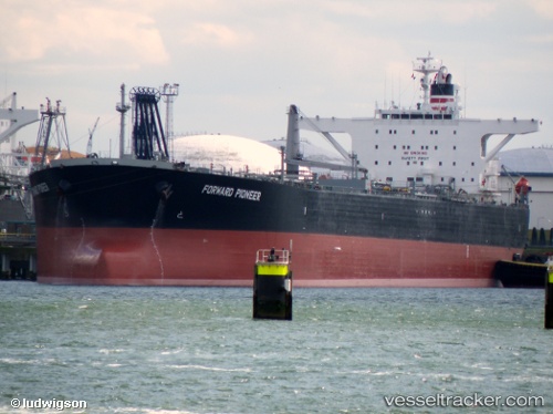
Vessel profile: MAKALU is a Crude Oil Tanker with dimensions m x m.
This page combines live AIS, route history, probable destination signals, nearby traffic, and port activity for practical vessel monitoring.
The current position of vessel MAKALU is 19.76196 lat / 109.07420 lng. Updated: 2026-05-15 23:53:28 UTCNearest reference points:
- 10 nm W of Yangpu Pt
- Near Yangpu Pt
- Near Baimajing
Currently sailing under the flag of Equatorial Guinea ![]()
Details:
Live Vessel MAKALU Analytics (details, animations, etc.)
Recent AIS points (UTC):
2026-05-15 19:29:28 UTC · 19.76293, 109.07791 · SOG 0 kn · COG 199°2026-05-15 22:20:28 UTC · 19.76277, 109.07637 · SOG 0 kn · COG 150°
2026-05-15 23:05:29 UTC · 19.76230, 109.07536 · SOG 0.1 kn · COG 127°
2026-05-15 23:53:28 UTC · 19.76196, 109.07420 · SOG 0 kn · COG 108°