 vesseltracker.com
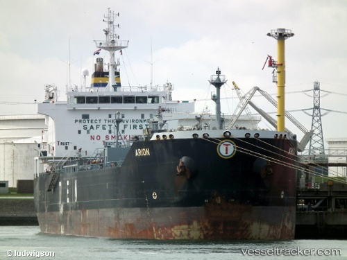
 INDRAS
Current Status
Where is the vessel?
INDRAS is currently in 39 nm S of Båly, based on AIS data received less than 1h ago.
Latest AIS update:
Current position: 57.38093° N, 7.12328° E (39 nm S of Båly)
Average speed (last 7 days): Loading…
Average speed (last 30 days): Loading…
Vessel profile: INDRAS is a Oil/Chemical Tanker with dimensions m x m.
This page combines live AIS, route history, probable destination signals, nearby traffic, and port activity for practical vessel monitoring.
The current position of vessel INDRAS is 57.38093 lat / 7.12328 lng. Updated: 2026-05-13 16:32:59 UTCNearest reference points:
- Near Kirkehamn
- Near Åna-Sira
- Near Kristiansand
Currently sailing under the flag of Sierra Leone ![]()
Details:
Live Vessel INDRAS Analytics (details, animations, etc.)
Recent AIS points (UTC):
2026-05-13 13:46:29 UTC · 57.76735, 7.66533 · SOG 12.3 kn · COG 273°2026-05-13 14:23:38 UTC · 57.77602, 7.42835 · SOG 12.2 kn · COG 274°
2026-05-13 15:36:58 UTC · 57.56698, 7.23525 · SOG 12.5 kn · COG 200°
2026-05-13 16:32:59 UTC · 57.38093, 7.12328 · SOG 12.5 kn · COG 204°