 vesseltracker.com
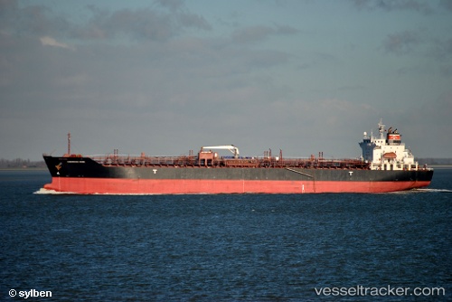
Chemroad Rose
Current StatusWhere is the vessel?
Chemroad Rose is currently in 38 nm NE of AL JUBAIL, based on AIS data received less than 1h ago.
Latest AIS update:
Current position: 27.40338° N, 50.31508° E (38 nm NE of AL JUBAIL)
Average speed (last 7 days): Loading…
Average speed (last 30 days): Loading…
Vessel profile: Chemroad Rose is a Chemical Tanker with dimensions 26m x 169m.
This page combines live AIS, route history, probable destination signals, nearby traffic, and port activity for practical vessel monitoring.
The current position of vessel Chemroad Rose is 27.40338 lat / 50.31508 lng. Updated: 2026-05-18 04:03:56 UTCNearest reference points:
- 13 nm NE of AL JUBAIL
- Near Al Jubayl
- Near DAMMAM
Details:
Live Vessel Chemroad Rose Analytics (details, animations, etc.)
Recent AIS points (UTC):
2026-05-17 22:18:28 UTC · 27.40349, 50.31412 · SOG 0.1 kn · COG 13°2026-05-17 23:47:27 UTC · 27.40414, 50.31317 · SOG 0.1 kn · COG 39°
2026-05-18 01:59:27 UTC · 27.40377, 50.31339 · SOG 0.1 kn · COG 37°
2026-05-18 04:03:56 UTC · 27.40338, 50.31508 · SOG 0 kn · COG 357°