 vesseltracker.com
 MORNING TIDE
Current Status
Where is the vessel?
MORNING TIDE is currently in 23 nm W of SEIN, based on AIS data received less than 1h ago.
Latest AIS update:
Current position: 47.98311° N, 5.42711° W (23 nm W of SEIN)
Average speed (last 7 days): Loading…
Average speed (last 30 days): Loading…
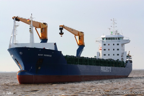
Vessel profile: MORNING TIDE is a General Cargo Ship with dimensions 143m x 19m.
This page combines live AIS, route history, probable destination signals, nearby traffic, and port activity for practical vessel monitoring.
The current position of vessel MORNING TIDE is 47.98311 lat / -5.42711 lng. Updated: 2026-05-16 12:13:21 UTCNearest reference points:
- 46 nm W of SEIN
- 10 nm S of MOLENE
- 14 nm W of Villy-le-Moutier
Currently sailing under the flag of Barbados ![]()
MORNING TIDE built in 2006 year
Deadweight:
12008 tDetails:
Live Vessel MORNING TIDE Analytics (details, animations, etc.)
Recent AIS points (UTC):
2026-05-16 07:48:06 UTC · 47.08409, -4.95420 · SOG 12.9 kn · COG 345°2026-05-16 10:04:54 UTC · 47.53525, -5.19070 · SOG 12.7 kn · COG 341°
2026-05-16 10:09:25 UTC · 47.55050, -5.19814 · SOG 12.8 kn · COG 341°
2026-05-16 12:13:21 UTC · 47.98311, -5.42711 · SOG 13.9 kn · COG 338°