 vesseltracker.com
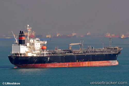
 SEA GULL
Current Status
Where is the vessel?
SEA GULL is currently in Near JOSE TERMINAL, based on AIS data received about 5h ago.
Latest AIS update:
Current position: 10.10285° N, 64.87842° W (Near JOSE TERMINAL)
Average speed (last 7 days): Loading…
Average speed (last 30 days): Loading…
Vessel profile: SEA GULL is a Oil/Chemical Tanker with dimensions m x m.
This page combines live AIS, route history, probable destination signals, nearby traffic, and port activity for practical vessel monitoring.
The current position of vessel SEA GULL is 10.10285 lat / -64.87842 lng. Updated: 2026-04-23 11:27:00 UTCNearest reference points:
- Near Puerto Sucre
- 15 nm SW of Punta de Piedras
Currently sailing under the flag of Liberia ![]()
Details:
Live Vessel SEA GULL Analytics (details, animations, etc.)
Recent AIS points (UTC):
2026-04-23 11:27:00 UTC · 10.10285, -64.87842 · SOG 0.5 kn · COG 17°2026-04-23 11:27:00 UTC · 10.10285, -64.87842 · SOG 0.5 kn · COG 17°
2026-04-23 11:27:00 UTC · 10.10285, -64.87842 · SOG 0.5 kn · COG 17°
2026-04-23 11:27:00 UTC · 10.10285, -64.87842 · SOG 0.5 kn · COG 17°