 vesseltracker.com
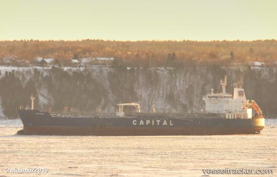
 Atrotos
Current Status
Where is the vessel?
Atrotos is currently in Open sea (no nearby ports in database), based on AIS data received less than 1h ago.
Latest AIS update:
Current position: 15.21940° N, 114.40211° W (Open sea (no nearby ports in database))
Average speed (last 7 days): Loading…
Average speed (last 30 days): Loading…
Vessel profile: Atrotos is a Chemical Oil Products Tanker with dimensions 184m x 32m.
This page combines live AIS, route history, probable destination signals, nearby traffic, and port activity for practical vessel monitoring.
The current position of vessel Atrotos is 15.21940 lat / -114.40211 lng. Updated: 2026-05-16 13:38:52 UTCNearest reference points:
- Open sea (no nearby ports in database)
Currently sailing under the flag of Liberia ![]()
Atrotos built in 2007 year
Deadweight:
47787 tDetails:
Live Vessel Atrotos Analytics (details, animations, etc.)
Recent AIS points (UTC):
2026-05-16 10:00:12 UTC · 15.01363, -113.60604 · SOG 13 kn · COG 287°2026-05-16 10:54:50 UTC · 15.06667, -113.80333 · SOG 13 kn · COG -1°
2026-05-16 11:55:23 UTC · 15.12323, -114.02456 · SOG 13.2 kn · COG 284°
2026-05-16 13:38:52 UTC · 15.21940, -114.40211 · SOG 13 kn · COG 286°