 vesseltracker.com
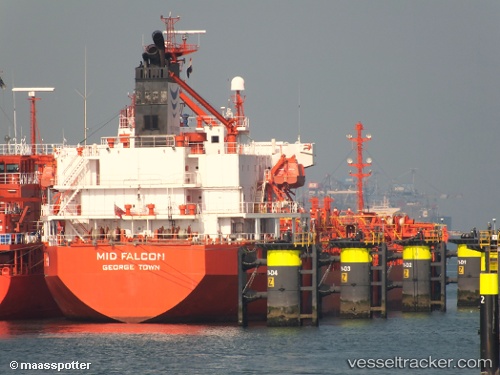
 LILA EVIA
Current Status
Where is the vessel?
LILA EVIA is currently in Near Bilbao, based on AIS data received about 1h ago.
Latest AIS update:
Current position: 43.35737° N, 3.05347° W (Near Bilbao)
Average speed (last 7 days): Loading…
Average speed (last 30 days): Loading…
Vessel profile: LILA EVIA is a Oil/Chemical Tanker with dimensions m x m.
This page combines live AIS, route history, probable destination signals, nearby traffic, and port activity for practical vessel monitoring.
The current position of vessel LILA EVIA is 43.35737 lat / -3.05347 lng. Updated: 2026-04-24 15:40:22 UTCNearest reference points:
- Near Zierbena
- Near Santurtz
- Near LAREDO
Currently sailing under the flag of Liberia ![]()
Details:
Live Vessel LILA EVIA Analytics (details, animations, etc.)
Recent AIS points (UTC):
2026-04-24 11:39:07 UTC · 43.41092, -3.10389 · SOG 0.5 kn · COG 182°2026-04-24 13:10:54 UTC · 43.37428, -3.07264 · SOG 10.9 kn · COG 120°
2026-04-24 13:53:44 UTC · 43.35747, -3.05341 · SOG 0 kn · COG 279°
2026-04-24 15:40:22 UTC · 43.35737, -3.05347 · SOG 0.3 kn · COG 280°