 vesseltracker.com
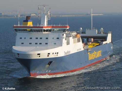
 Tavastland
Current Status
Where is the vessel?
Tavastland is currently in 30 nm NW of Bosund, based on AIS data received less than 1h ago.
Latest AIS update:
Current position: 64.27021° N, 22.38218° E (30 nm NW of Bosund)
Average speed (last 7 days): Loading…
Average speed (last 30 days): Loading…
Vessel profile: Tavastland is a Ro Ro Cargo Ship with dimensions 190m x 26m.
This page combines live AIS, route history, probable destination signals, nearby traffic, and port activity for practical vessel monitoring.
The current position of vessel Tavastland is 64.27021 lat / 22.38218 lng. Updated: 2026-05-12 19:51:36 UTCNearest reference points:
- Near Karlsborg Axelvik
- 20 nm S of HOLMSUND
Currently sailing under the flag of Sweden ![]()
Tavastland built in 2006 year
Deadweight:
15960 tDetails:
Live Vessel Tavastland Analytics (details, animations, etc.)
Recent AIS points (UTC):
2026-05-12 16:28:25 UTC · 63.54812, 20.82696 · SOG 18.1 kn · COG 72°2026-05-12 17:40:42 UTC · 63.77233, 21.41279 · SOG 18 kn · COG 40°
2026-05-12 19:43:18 UTC · 64.23872, 22.32021 · SOG 18 kn · COG 42°
2026-05-12 19:51:36 UTC · 64.27021, 22.38218 · SOG 18 kn · COG 40°