 vesseltracker.com
 DENAK D
Current Status
Where is the vessel?
DENAK D is currently in Near Port Newark, based on AIS data received about 1h ago.
Latest AIS update:
Current position: 40.68379° N, 74.07357° W (Near Port Newark)
Average speed (last 7 days): Loading…
Average speed (last 30 days): Loading…
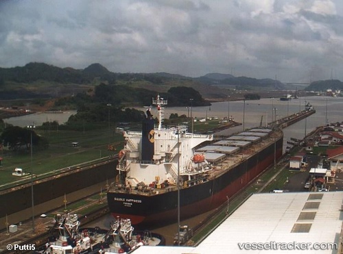
Vessel profile: DENAK D is a Bulk Carrier with dimensions m x m.
This page combines live AIS, route history, probable destination signals, nearby traffic, and port activity for practical vessel monitoring.
The current position of vessel DENAK D is 40.68379 lat / -74.07357 lng. Updated: 2026-04-23 16:56:48 UTCNearest reference points:
- Near Tompkinsville
- Near Brooklyn
- Near Maher Terminal
Currently sailing under the flag of Turkey ![]()
Details:
Live Vessel DENAK D Analytics (details, animations, etc.)
Recent AIS points (UTC):
2026-04-23 13:32:47 UTC · 40.68381, -74.07362 · SOG 0 kn · COG 131°2026-04-23 13:41:46 UTC · 40.68380, -74.07359 · SOG 0 kn · COG 131°
2026-04-23 15:38:52 UTC · 40.68378, -74.07358 · SOG 0 kn · COG 131°
2026-04-23 16:56:48 UTC · 40.68379, -74.07357 · SOG 0 kn · COG 131°