 vesseltracker.com
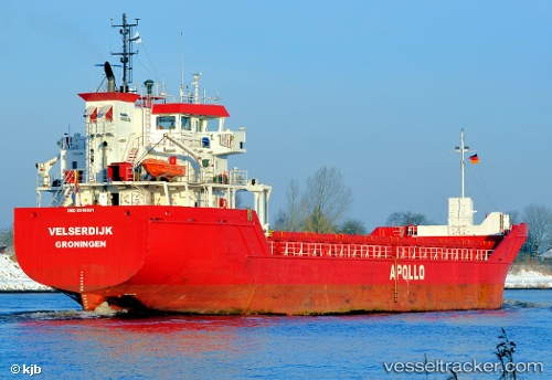
 Velserdijk
Current Status
Where is the vessel?
Velserdijk is currently in 21 nm W of Soulac-sur-Mer, based on AIS data received about 2h ago.
Latest AIS update:
Current position: 45.44801° N, 1.58460° W (21 nm W of Soulac-sur-Mer)
Average speed (last 7 days): Loading…
Average speed (last 30 days): Loading…
Vessel profile: Velserdijk is a Multi Purpose Carrier with dimensions m x 90m.
This page combines live AIS, route history, probable destination signals, nearby traffic, and port activity for practical vessel monitoring.
The current position of vessel Velserdijk is 45.44801 lat / -1.58460 lng. Updated: 2026-05-13 06:10:46 UTCNearest reference points:
- Near Saint-Pierre-d'Oléron
- Near LE VERDON-SUR-MER
- Near Royan
Currently sailing under the flag of Netherlands ![]()
Details:
Live Vessel Velserdijk Analytics (details, animations, etc.)
Recent AIS points (UTC):
2026-05-13 02:28:12 UTC · 44.80754, -1.59668 · SOG 10.3 kn · COG 1°2026-05-13 03:33:17 UTC · 44.99632, -1.59210 · SOG 10.7 kn · COG 356°
2026-05-13 04:04:03 UTC · 45.08579, -1.59435 · SOG 10.5 kn · COG 354°
2026-05-13 06:10:46 UTC · 45.44801, -1.58460 · SOG 9.9 kn · COG 359°