 vesseltracker.com
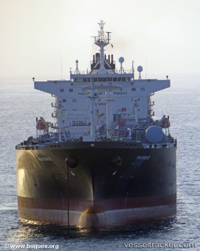
Providence
Current StatusWhere is the vessel?
Providence is currently in 18 nm W of Multi Services-SEZ/Dronagiri, based on AIS data received about 1h ago.
Latest AIS update:
Current position: 19.14392° N, 72.51059° E (18 nm W of Multi Services-SEZ/Dronagiri)
Average speed (last 7 days): Loading…
Average speed (last 30 days): Loading…
Vessel profile: Providence is a Lpg Tanker with dimensions 39m x 226m.
This page combines live AIS, route history, probable destination signals, nearby traffic, and port activity for practical vessel monitoring.
The current position of vessel Providence is 19.14392 lat / 72.51059 lng. Updated: 2026-05-18 00:09:34 UTCNearest reference points:
- Near HNB SEZ/Mumbai
- Near Mumbai
- Near NHAVA SHEVA
Details:
Live Vessel Providence Analytics (details, animations, etc.)
Recent AIS points (UTC):
2026-05-17 19:33:47 UTC · 19.14500, 72.51167 · SOG 0 kn · COG -1°2026-05-17 21:24:31 UTC · 19.14418, 72.51100 · SOG 0 kn · COG 340°
2026-05-17 22:15:33 UTC · 19.14393, 72.51030 · SOG 0 kn · COG 354°
2026-05-18 00:09:34 UTC · 19.14392, 72.51059 · SOG 0.2 kn · COG 344°