 vesseltracker.com
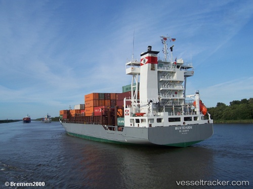
 DAGMAR
Current Status
Where is the vessel?
DAGMAR is currently in 18 nm S of Seaford, based on AIS data received about 1h ago.
Latest AIS update:
Current position: 50.47910° N, 0.07342° W (18 nm S of Seaford)
Average speed (last 7 days): Loading…
Average speed (last 30 days): Loading…
Vessel profile: DAGMAR is a Container Ship with dimensions m x m.
This page combines live AIS, route history, probable destination signals, nearby traffic, and port activity for practical vessel monitoring.
The current position of vessel DAGMAR is 50.47910 lat / -0.07342 lng. Updated: 2026-05-14 01:53:07 UTCNearest reference points:
- 27 nm S of Seaford
- 23 nm S of Ferring
- 23 nm S of Poling
Currently sailing under the flag of Portugal ![]()
Details:
Live Vessel DAGMAR Analytics (details, animations, etc.)
Recent AIS points (UTC):
2026-05-13 23:52:49 UTC · 50.63049, 0.69216 · SOG 15.5 kn · COG 235°2026-05-14 01:23:56 UTC · 50.50640, 0.11725 · SOG 15.6 kn · COG 257°
2026-05-14 01:37:43 UTC · 50.49653, 0.02581 · SOG 15.2 kn · COG 265°
2026-05-14 01:53:07 UTC · 50.47910, -0.07342 · SOG 15.5 kn · COG 252°