 vesseltracker.com
 Maria G
Current Status
Where is the vessel?
Maria G is currently in 21 nm SW of CASTLETOWN BEARHAVEN, based on AIS data received about 2h ago.
Latest AIS update:
Current position: 51.36608° N, 10.21694° W (21 nm SW of CASTLETOWN BEARHAVEN)
Average speed (last 7 days): Loading…
Average speed (last 30 days): Loading…
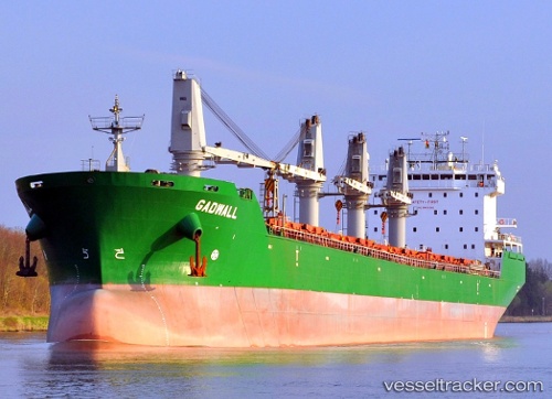
Vessel profile: Maria G is a Bulk Carrier with dimensions 200m x 200m.
This page combines live AIS, route history, probable destination signals, nearby traffic, and port activity for practical vessel monitoring.
The current position of vessel Maria G is 51.36608 lat / -10.21694 lng. Updated: 2026-05-15 02:33:03 UTCNearest reference points:
- Near CASTLETOWN BEARHAVEN
- Near Skull
- 20 nm SE of Wunschendorf
Currently sailing under the flag of Malta ![]()
Maria G built in 2007 year
Deadweight:
37249 tDetails:
Live Vessel Maria G Analytics (details, animations, etc.)
Recent AIS points (UTC):
2026-05-14 22:58:40 UTC · 51.89997, -11.02719 · SOG 12.5 kn · COG 154°2026-05-14 23:49:13 UTC · 51.74290, -10.89997 · SOG 12.6 kn · COG 155°
2026-05-15 01:12:25 UTC · 51.52006, -10.61590 · SOG 12.8 kn · COG 122°
2026-05-15 02:33:03 UTC · 51.36608, -10.21694 · SOG 13.2 kn · COG 123°