 vesseltracker.com
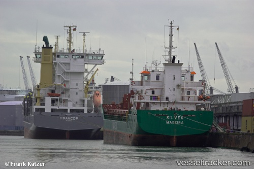
 Cuera
Cuera
Current Status
Where is the vessel?
Cuera is currently in Near Gdynia, based on AIS data received about 2h ago.
Latest AIS update:
Current position: 54.54594° N, 18.50373° E (Near Gdynia)
Average speed (last 7 days): Loading…
Average speed (last 30 days): Loading…
Vessel profile: Cuera is a General Cargo Ship with dimensions 90m x 14m.
This page combines live AIS, route history, probable destination signals, nearby traffic, and port activity for practical vessel monitoring.
The current position of vessel Cuera is 54.54594 lat / 18.50373 lng. Updated: 2026-05-15 07:35:40 UTCNearest reference points:
- Near Gdynia
- Near Sopot
- Near Nowy Port/Gdansk
Currently sailing under the flag of Portugal ![]()
Cuera built in 2008 year
Deadweight:
4671 tDetails:
Live Vessel Cuera Analytics (details, animations, etc.)
Recent AIS points (UTC):
2026-05-15 04:41:40 UTC · 54.54592, 18.50374 · SOG 0 kn · COG 109°2026-05-15 06:17:37 UTC · 54.54591, 18.50374 · SOG 0 kn · COG 110°
2026-05-15 07:08:41 UTC · 54.54594, 18.50371 · SOG 0 kn · COG 109°
2026-05-15 07:35:40 UTC · 54.54594, 18.50373 · SOG 0 kn · COG 110°