 vesseltracker.com
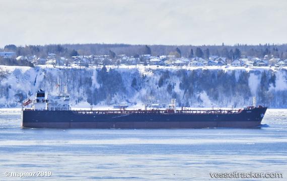
 QUEEN ANTONIA
Current Status
Where is the vessel?
QUEEN ANTONIA is currently in 42 nm W of Attikon, based on AIS data received less than 1h ago.
Latest AIS update:
Current position: 48.14350° N, 10.27950° W (42 nm W of Attikon)
Average speed (last 7 days): Loading…
Average speed (last 30 days): Loading…
Vessel profile: QUEEN ANTONIA is a Oil/Chemical Tanker with dimensions m x m.
This page combines live AIS, route history, probable destination signals, nearby traffic, and port activity for practical vessel monitoring.
The current position of vessel QUEEN ANTONIA is 48.14350 lat / -10.27950 lng. Updated: 2026-05-16 17:51:03 UTCNearest reference points:
- 44 nm SE of Brady
- 24 nm N of Aurach Bei Kitzbuhel
Currently sailing under the flag of Bahamas ![]()
Details:
Live Vessel QUEEN ANTONIA Analytics (details, animations, etc.)
Recent AIS points (UTC):
2026-05-16 13:19:42 UTC · 47.72567, -11.74600 · SOG 14.3 kn · COG 63°2026-05-16 15:38:00 UTC · 47.93983, -10.99983 · SOG 13.9 kn · COG 64°
2026-05-16 15:47:48 UTC · 47.95483, -10.94767 · SOG 13.9 kn · COG 63°
2026-05-16 17:51:03 UTC · 48.14350, -10.27950 · SOG 14.1 kn · COG 67°