 vesseltracker.com
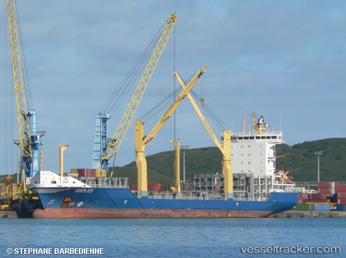
 HOHEPLATE
Current Status
Where is the vessel?
HOHEPLATE is currently in 33 nm SE of Fisher Island, Miami, based on AIS data received about 1h ago.
Latest AIS update:
Current position: 25.48581° N, 79.60459° W (33 nm SE of Fisher Island, Miami)
Average speed (last 7 days): Loading…
Average speed (last 30 days): Loading…
Vessel profile: HOHEPLATE is a Container Ship with dimensions m x m.
This page combines live AIS, route history, probable destination signals, nearby traffic, and port activity for practical vessel monitoring.
The current position of vessel HOHEPLATE is 25.48581 lat / -79.60459 lng. Updated: 2026-04-25 15:18:05 UTCNearest reference points:
- 44 nm E of Surfside
- Near Fisher Island, Miami
- 11 nm SE of Cutler Bay
Currently sailing under the flag of Antigua and Barbuda ![]()
Details:
Live Vessel HOHEPLATE Analytics (details, animations, etc.)
Recent AIS points (UTC):
2026-04-25 13:45:00 UTC · 25.82909, -79.69101 · SOG 12.9 kn · COG 162°2026-04-25 14:04:24 UTC · 25.75808, -79.66980 · SOG 13.7 kn · COG 167°
2026-04-25 15:18:05 UTC · 25.48581, -79.60459 · SOG 13.7 kn · COG 166°
2026-04-25 15:18:05 UTC · 25.48581, -79.60459 · SOG 13.7 kn · COG 166°