 vesseltracker.com
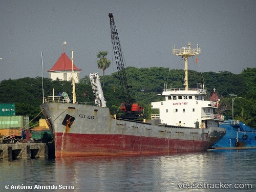
Kien Hung
Current StatusWhere is the vessel?
Kien Hung is currently in 23 nm SW of Hamtic, based on AIS data received about 3h ago.
Latest AIS update:
Current position: 10.49736° N, 121.63299° E (23 nm SW of Hamtic)
Average speed (last 7 days): Loading…
Average speed (last 30 days): Loading…
Vessel profile: Kien Hung is a General Cargo Ship with dimensions 13m x 80m.
This page combines live AIS, route history, probable destination signals, nearby traffic, and port activity for practical vessel monitoring.
The current position of vessel Kien Hung is 10.49736 lat / 121.63299 lng. Updated: 2026-05-13 10:27:50 UTCNearest reference points:
- Near Iloilo
- Near BACOLOD
- Near TOLEDO
Details:
Live Vessel Kien Hung Analytics (details, animations, etc.)
Recent AIS points (UTC):
2026-05-13 10:02:32 UTC · 10.47888, 121.68422 · SOG 7.6 kn · COG 287°2026-05-13 10:27:50 UTC · 10.49736, 121.63299 · SOG 7.7 kn · COG 289°
2026-05-13 10:27:50 UTC · 10.49736, 121.63299 · SOG 7.7 kn · COG 289°
2026-05-13 10:27:50 UTC · 10.49736, 121.63299 · SOG 7.7 kn · COG 289°