 vesseltracker.com
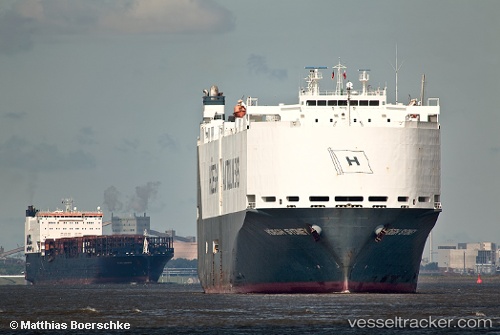
 VIKING SYDNEY
Current Status
Where is the vessel?
VIKING SYDNEY is currently in 32 nm N of Kampong Ulu Redang, based on AIS data received less than 1h ago.
Latest AIS update:
Current position: 6.29500° N, 102.88333° E (32 nm N of Kampong Ulu Redang)
Average speed (last 7 days): Loading…
Average speed (last 30 days): Loading…
Vessel profile: VIKING SYDNEY is a Vehicles Carrier with dimensions m x m.
This page combines live AIS, route history, probable destination signals, nearby traffic, and port activity for practical vessel monitoring.
The current position of vessel VIKING SYDNEY is 6.29500 lat / 102.88333 lng. Updated: 2026-05-15 19:32:01 UTCNearest reference points:
- Near Muda Marine Terminal
- 29 nm SW of Dulang Marine Terminal
- 23 nm E of Muda Marine Terminal
Currently sailing under the flag of Marshall Islands ![]()
Details:
Live Vessel VIKING SYDNEY Analytics (details, animations, etc.)
Recent AIS points (UTC):
2026-05-15 16:55:57 UTC · 6.85167, 102.32833 · SOG 17 kn · COG -1°2026-05-15 17:25:56 UTC · 6.75167, 102.43833 · SOG 17 kn · COG -1°
2026-05-15 19:04:57 UTC · 6.38667, 102.78167 · SOG 18 kn · COG -1°
2026-05-15 19:32:01 UTC · 6.29500, 102.88333 · SOG 18 kn · COG -1°