 vesseltracker.com
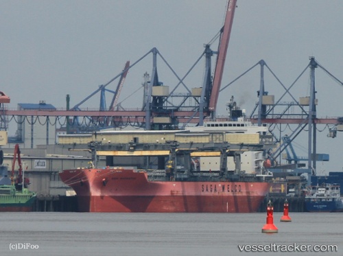
 SAGA NAVIGATOR
Current Status
Where is the vessel?
SAGA NAVIGATOR is currently in Near Campbell River, based on AIS data received less than 1h ago.
Latest AIS update:
Current position: 50.02591° N, 125.21720° W (Near Campbell River)
Average speed (last 7 days): Loading…
Average speed (last 30 days): Loading…
Vessel profile: SAGA NAVIGATOR is a General Cargo with dimensions m x m.
This page combines live AIS, route history, probable destination signals, nearby traffic, and port activity for practical vessel monitoring.
The current position of vessel SAGA NAVIGATOR is 50.02591 lat / -125.21720 lng. Updated: 2026-05-02 18:10:55 UTCNearest reference points:
- Near Powell River
- 21 nm NW of Tatoosh Island
- Near Nanaimo
Currently sailing under the flag of Bahamas ![]()
Details:
Live Vessel SAGA NAVIGATOR Analytics (details, animations, etc.)
Recent AIS points (UTC):
2026-05-02 14:22:25 UTC · 49.57086, -124.58473 · SOG 10.3 kn · COG 320°2026-05-02 15:48:55 UTC · 49.75553, -124.84578 · SOG 10.3 kn · COG 315°
2026-05-02 16:22:44 UTC · 49.82587, -124.95565 · SOG 10.7 kn · COG 317°
2026-05-02 18:10:55 UTC · 50.02591, -125.21720 · SOG 11 kn · COG 330°