 vesseltracker.com
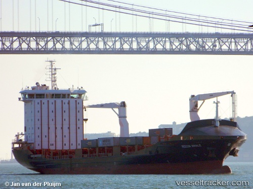
 Vera A
Current Status
Where is the vessel?
Vera A is currently in Near THAMESPORT, based on AIS data received about 1h ago.
Latest AIS update:
Current position: 51.43252° N, 0.68441° E (Near THAMESPORT)
Average speed (last 7 days): Loading…
Average speed (last 30 days): Loading…
Vessel profile: Vera A is a Container Ship with dimensions 145m x 22m.
This page combines live AIS, route history, probable destination signals, nearby traffic, and port activity for practical vessel monitoring.
The current position of vessel Vera A is 51.43252 lat / 0.68441 lng. Updated: 2026-03-28 15:46:00 UTCNearest reference points:
- Near GILLINGHAM
- Near BURNHAM ON CROUCH
- Near Gravesend
Currently sailing under the flag of Malta ![]()
Vera A built in 2011 year
Deadweight:
12513 tDetails:
Live Vessel Vera A Analytics (details, animations, etc.)
Recent AIS points (UTC):
2026-03-28 09:38:31 UTC · 51.47843, 0.87194 · SOG 9.3 kn · COG 265°2026-03-28 12:31:03 UTC · 51.43253, 0.68438 · SOG 0 kn · COG 272°
2026-03-28 14:01:01 UTC · 51.43250, 0.68440 · SOG 0 kn · COG 271°
2026-03-28 15:46:00 UTC · 51.43252, 0.68441 · SOG 0 kn · COG 271°