 vesseltracker.com
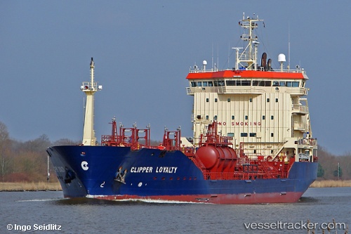
 ATA OCEAN
Current Status
Where is the vessel?
ATA OCEAN is currently in Near Onton, based on AIS data received about 1h ago.
Latest AIS update:
Current position: 43.37264° N, 3.12043° W (Near Onton)
Average speed (last 7 days): Loading…
Average speed (last 30 days): Loading…
Vessel profile: ATA OCEAN is a Oil/Chemical Tanker with dimensions m x m.
This page combines live AIS, route history, probable destination signals, nearby traffic, and port activity for practical vessel monitoring.
The current position of vessel ATA OCEAN is 43.37264 lat / -3.12043 lng. Updated: 2026-05-01 10:02:44 UTCNearest reference points:
- Near Zierbena
- Near Santurtz
- Near LAREDO
Currently sailing under the flag of Barbados ![]()
Details:
Live Vessel ATA OCEAN Analytics (details, animations, etc.)
Recent AIS points (UTC):
2026-05-01 07:53:44 UTC · 43.37330, -3.12028 · SOG 0.2 kn · COG 99°2026-05-01 08:17:46 UTC · 43.37311, -3.12015 · SOG 0.2 kn · COG 80°
2026-05-01 09:59:44 UTC · 43.37259, -3.12037 · SOG 0.2 kn · COG 61°
2026-05-01 10:02:44 UTC · 43.37264, -3.12043 · SOG 0.4 kn · COG 68°