 vesseltracker.com
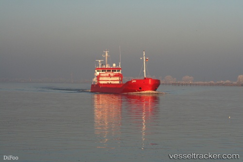
 Emma
Emma
Current Status
Where is the vessel?
Emma is currently in 28 nm NW of KALAJOKI, based on AIS data received about 1h ago.
Latest AIS update:
Current position: 64.49127° N, 22.80443° E (28 nm NW of KALAJOKI)
Average speed (last 7 days): Loading…
Average speed (last 30 days): Loading…
Vessel profile: Emma is a General Cargo Ship with dimensions 90m x 13m.
This page combines live AIS, route history, probable destination signals, nearby traffic, and port activity for practical vessel monitoring.
The current position of vessel Emma is 64.49127 lat / 22.80443 lng. Updated: 2026-05-16 11:54:42 UTCNearest reference points:
- Near Karlsborg Axelvik
- 20 nm S of HOLMSUND
Currently sailing under the flag of Netherlands ![]()
Emma built in 2007 year
Deadweight:
3500 tDetails:
Live Vessel Emma Analytics (details, animations, etc.)
Recent AIS points (UTC):
2026-05-16 08:27:03 UTC · 65.08788, 22.78847 · SOG 10.4 kn · COG 175°2026-05-16 09:23:12 UTC · 64.92337, 22.80146 · SOG 10.3 kn · COG 176°
2026-05-16 11:03:41 UTC · 64.63639, 22.80371 · SOG 10.2 kn · COG 177°
2026-05-16 11:54:42 UTC · 64.49127, 22.80443 · SOG 10.3 kn · COG 175°