 vesseltracker.com
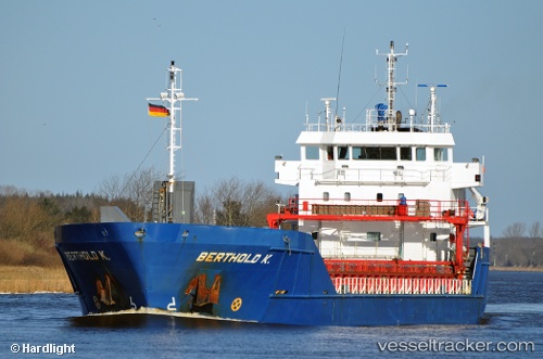
 Berthold K
Current Status
Where is the vessel?
Berthold K is currently in Near Bovenau, based on AIS data received less than 1h ago.
Latest AIS update:
Current position: 54.36329° N, 9.85459° E (Near Bovenau)
Average speed (last 7 days): Loading…
Average speed (last 30 days): Loading…
Vessel profile: Berthold K is a Multi Purpose Carrier with dimensions 90m x 15m.
This page combines live AIS, route history, probable destination signals, nearby traffic, and port activity for practical vessel monitoring.
The current position of vessel Berthold K is 54.36329 lat / 9.85459 lng. Updated: 2026-05-13 14:23:36 UTCNearest reference points:
- Near BORGSTEDT
- Near Rammsee
- Near Borgwedel
Currently sailing under the flag of Netherlands ![]()
Berthold K built in 2008 year
Deadweight:
4442 tDetails:
Live Vessel Berthold K Analytics (details, animations, etc.)
Recent AIS points (UTC):
2026-05-13 10:51:34 UTC · 54.14137, 9.34402 · SOG 6.5 kn · COG 42°2026-05-13 11:59:15 UTC · 54.19454, 9.54091 · SOG 6.6 kn · COG 64°
2026-05-13 13:46:25 UTC · 54.34090, 9.74849 · SOG 6.8 kn · COG 49°
2026-05-13 14:23:36 UTC · 54.36329, 9.85459 · SOG 6.5 kn · COG 100°