 vesseltracker.com
 KIMBERLY
Current Status
Where is the vessel?
KIMBERLY is currently in Near SVETLY, based on AIS data received less than 1h ago.
Latest AIS update:
Current position: 54.65162° N, 20.09940° E (Near SVETLY)
Average speed (last 7 days): Loading…
Average speed (last 30 days): Loading…
Vessel profile: KIMBERLY is a Multi Purpose Carrier with dimensions 116m x 16m.
This page combines live AIS, route history, probable destination signals, nearby traffic, and port activity for practical vessel monitoring.
The current position of vessel KIMBERLY is 54.65162 lat / 20.09940 lng. Updated: 2026-05-15 19:30:40 UTCNearest reference points:
- Near SVETLY
- Near Baltiysk
- Near Kaliningrad
Currently sailing under the flag of Antigua Barbuda ![]()
KIMBERLY built in 0 year
Deadweight:
0 tDetails:
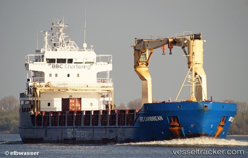
ex Bbc Caribbean
ex MMSI: 305238000
Live Vessel KIMBERLY Analytics (details, animations, etc.)
Recent AIS points (UTC):
2026-05-15 16:57:38 UTC · 54.70202, 20.46026 · SOG 0 kn · COG 294°2026-05-15 18:17:19 UTC · 54.68749, 20.35012 · SOG 6.9 kn · COG 248°
2026-05-15 19:16:59 UTC · 54.66985, 20.14111 · SOG 7.5 kn · COG 224°
2026-05-15 19:30:40 UTC · 54.65162, 20.09940 · SOG 9.8 kn · COG 255°