 vesseltracker.com
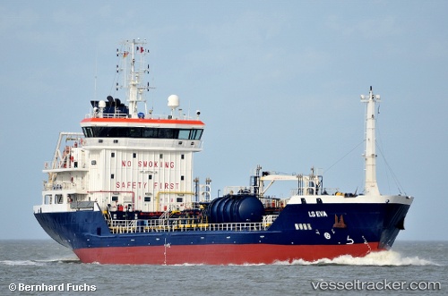
 TEJAS
TEJAS
Current Status
Where is the vessel?
TEJAS is currently in Near Eleusis, based on AIS data received less than 1h ago.
Latest AIS update:
Current position: 38.03244° N, 23.50889° E (Near Eleusis)
Average speed (last 7 days): Loading…
Average speed (last 30 days): Loading…
Vessel profile: TEJAS is a Oil/Chemical Tanker with dimensions m x m.
This page combines live AIS, route history, probable destination signals, nearby traffic, and port activity for practical vessel monitoring.
The current position of vessel TEJAS is 38.03244 lat / 23.50889 lng. Updated: 2026-05-15 11:42:10 UTCNearest reference points:
- Near PERAMA
- Near Keratsínion
- Near Drapetzona
Currently sailing under the flag of Marshall Islands ![]()
Details:
Live Vessel TEJAS Analytics (details, animations, etc.)
Recent AIS points (UTC):
2026-05-15 07:51:10 UTC · 38.03242, 23.50887 · SOG 0 kn · COG 358°2026-05-15 09:39:10 UTC · 38.03246, 23.50886 · SOG 0 kn · COG 357°
2026-05-15 10:27:11 UTC · 38.03246, 23.50889 · SOG 0 kn · COG 357°
2026-05-15 11:42:10 UTC · 38.03244, 23.50889 · SOG 0 kn · COG 357°