 vesseltracker.com
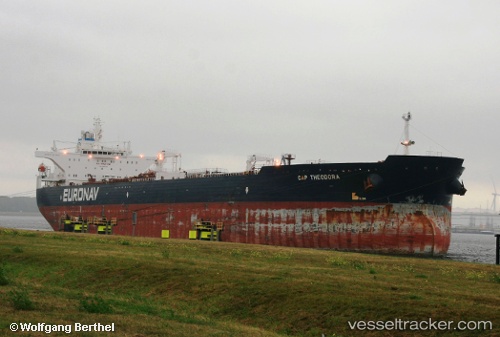
Cap Theodora
Current StatusWhere is the vessel?
Cap Theodora is currently in 111 nm S of Ben Slimane, based on AIS data received about 1h ago.
Latest AIS update:
Current position: 31.78955° N, 70.77887° W (111 nm S of Ben Slimane)
Average speed (last 7 days): Loading…
Average speed (last 30 days): Loading…
Vessel profile: Cap Theodora is a Crude Oil Tanker with dimensions 46m x 274m.
This page combines live AIS, route history, probable destination signals, nearby traffic, and port activity for practical vessel monitoring.
The current position of vessel Cap Theodora is 31.78955 lat / -70.77887 lng. Updated: 2026-05-16 19:02:05 UTCNearest reference points:
- 150 nm S of Ben Slimane
Details:
Live Vessel Cap Theodora Analytics (details, animations, etc.)
Recent AIS points (UTC):
2026-05-16 15:56:10 UTC · 32.13462, -70.20758 · SOG 11.5 kn · COG 235°2026-05-16 17:33:34 UTC · 31.95482, -70.50645 · SOG 11.4 kn · COG 234°
2026-05-16 19:02:05 UTC · 31.78955, -70.77887 · SOG 11.6 kn · COG 233°
2026-05-16 19:02:05 UTC · 31.78955, -70.77887 · SOG 11.6 kn · COG 233°