 vesseltracker.com
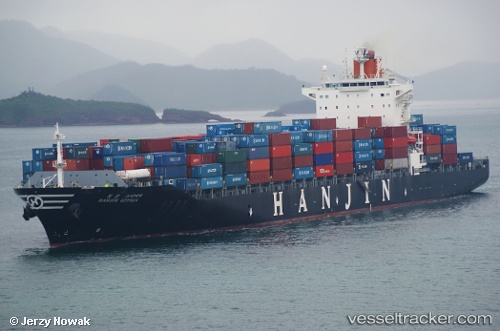
 CMA CGM DUTCH HARBOR
Current Status
Where is the vessel?
CMA CGM DUTCH HARBOR is currently in 271 nm NW of Manihiki Island, based on AIS data received less than 1h ago.
Latest AIS update:
Current position: 8.15833° S, 164.98666° W (271 nm NW of Manihiki Island)
Average speed (last 7 days): Loading…
Average speed (last 30 days): Loading…
Vessel profile: CMA CGM DUTCH HARBOR is a Container Ship with dimensions 32m x 261m.
This page combines live AIS, route history, probable destination signals, nearby traffic, and port activity for practical vessel monitoring.
The current position of vessel CMA CGM DUTCH HARBOR is -8.15833 lat / -164.98666 lng. Updated: 2026-05-14 08:17:04 UTCCurrently sailing under the flag of Malta ![]()
CMA CGM DUTCH HARBOR built in 2009 year
Deadweight:
51653 tDetails:
Live Vessel CMA CGM DUTCH HARBOR Analytics (details, animations, etc.)
Recent AIS points (UTC):
2026-05-14 07:29:24 UTC · -8.31083, -165.06319 · SOG 12.7 kn · COG 27°2026-05-14 07:29:24 UTC · -8.31083, -165.06319 · SOG 12.7 kn · COG 27°
2026-05-14 08:17:04 UTC · -8.15833, -164.98666 · SOG 13 kn · COG -1°
2026-05-14 08:17:04 UTC · -8.15833, -164.98666 · SOG 13 kn · COG -1°