 vesseltracker.com
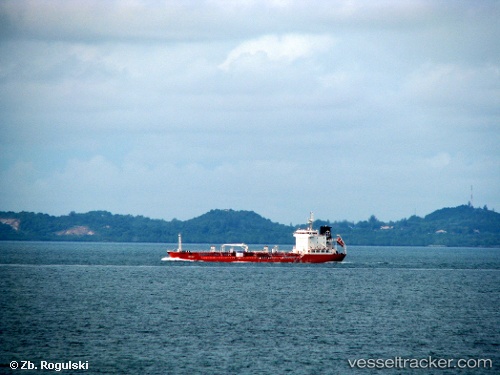
 GRIFFIN T
Current Status
Where is the vessel?
GRIFFIN T is currently in 27 nm NE of Mykonos, based on AIS data received less than 1h ago.
Latest AIS update:
Current position: 37.83722° N, 25.61095° E (27 nm NE of Mykonos)
Average speed (last 7 days): Loading…
Average speed (last 30 days): Loading…
Vessel profile: GRIFFIN T is a Chemical Tanker with dimensions m x m.
This page combines live AIS, route history, probable destination signals, nearby traffic, and port activity for practical vessel monitoring.
The current position of vessel GRIFFIN T is 37.83722 lat / 25.61095 lng. Updated: 2026-05-13 10:02:26 UTCNearest reference points:
- 13 nm NW of Karkinagri Ikarias
- Near MYKONOS OLD PORT
- Near Delos
Currently sailing under the flag of Barbados ![]()
Details:
Live Vessel GRIFFIN T Analytics (details, animations, etc.)
Recent AIS points (UTC):
2026-05-13 04:21:47 UTC · 38.90160, 25.51601 · SOG 12.1 kn · COG 196°2026-05-13 05:49:26 UTC · 38.60931, 25.41040 · SOG 12.4 kn · COG 196°
2026-05-13 07:15:46 UTC · 38.32771, 25.42817 · SOG 11.9 kn · COG 163°
2026-05-13 10:02:26 UTC · 37.83722, 25.61095 · SOG 9.8 kn · COG 158°