 vesseltracker.com
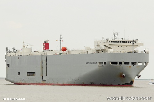
Northern Highway
Current StatusWhere is the vessel?
Northern Highway is currently in 20 nm N of Cilincing, based on AIS data received about 1h ago.
Latest AIS update:
Current position: 5.75530° S, 106.95415° E (20 nm N of Cilincing)
Average speed (last 7 days): Loading…
Average speed (last 30 days): Loading…
Vessel profile: Northern Highway is a Vehicles Carrier with dimensions 28m x 188m.
This page combines live AIS, route history, probable destination signals, nearby traffic, and port activity for practical vessel monitoring.
The current position of vessel Northern Highway is -5.75530 lat / 106.95415 lng. Updated: 2026-05-13 20:02:58 UTCNearest reference points:
- 19 nm N of Cilincing
- Near New Priok Port
- Near Jakarta
Details:
Live Vessel Northern Highway Analytics (details, animations, etc.)
Recent AIS points (UTC):
2026-05-13 16:08:42 UTC · -6.09895, 106.91680 · SOG 0 kn · COG 93°2026-05-13 17:32:42 UTC · -6.09893, 106.91680 · SOG 0 kn · COG 93°
2026-05-13 19:20:57 UTC · -5.92572, 106.91463 · SOG 12.8 kn · COG 26°
2026-05-13 20:02:58 UTC · -5.75530, 106.95415 · SOG 16.2 kn · COG 12°