 vesseltracker.com
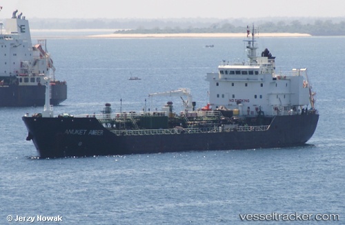
 PELICAN FISHER
Current Status
Where is the vessel?
PELICAN FISHER is currently in 47 nm SW of Bridgetown, based on AIS data received less than 1h ago.
Latest AIS update:
Current position: 12.43667° N, 60.06500° W (47 nm SW of Bridgetown)
Average speed (last 7 days): Loading…
Average speed (last 30 days): Loading…
Vessel profile: PELICAN FISHER is a Chemical/Oil Products Tanker with dimensions 19m x 122m.
This page combines live AIS, route history, probable destination signals, nearby traffic, and port activity for practical vessel monitoring.
The current position of vessel PELICAN FISHER is 12.43667 lat / -60.06500 lng. Updated: 2026-05-14 17:26:18 UTCNearest reference points:
- Near Saint Michael
- Near Kingstown
- 16 nm SW of Carriacou Apt
Currently sailing under the flag of United Kingdom ![]()
PELICAN FISHER built in 2008 year
Deadweight:
9583 tDetails:
Live Vessel PELICAN FISHER Analytics (details, animations, etc.)
Recent AIS points (UTC):
2026-05-14 13:41:17 UTC · 12.79167, -60.36167 · SOG 7 kn · COG -1°2026-05-14 15:41:16 UTC · 12.60167, -60.20500 · SOG 7 kn · COG -1°
2026-05-14 16:17:16 UTC · 12.54500, -60.15833 · SOG 7 kn · COG -1°
2026-05-14 17:26:18 UTC · 12.43667, -60.06500 · SOG 7 kn · COG -1°