 vesseltracker.com
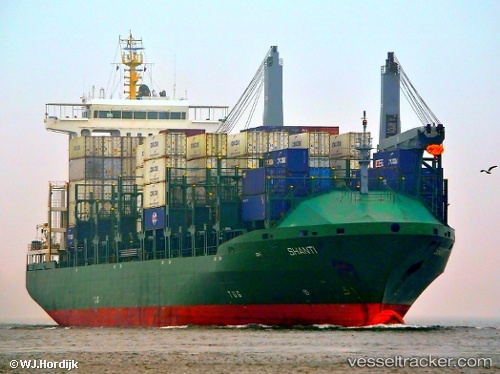
 CMA CGM WEST
Current Status
Where is the vessel?
CMA CGM WEST is currently in Near Iskenderun, based on AIS data received about 1h ago.
Latest AIS update:
Current position: 36.59368° N, 36.18919° E (Near Iskenderun)
Average speed (last 7 days): Loading…
Average speed (last 30 days): Loading…
Vessel profile: CMA CGM WEST is a Container Ship with dimensions m x m.
This page combines live AIS, route history, probable destination signals, nearby traffic, and port activity for practical vessel monitoring.
The current position of vessel CMA CGM WEST is 36.59368 lat / 36.18919 lng. Updated: 2026-05-16 11:52:29 UTCNearest reference points:
- Near Iskenderun
- Near DORTYOL
- 13 nm W of Iskenderun
Currently sailing under the flag of Bahamas ![]()
Details:
Live Vessel CMA CGM WEST Analytics (details, animations, etc.)
Recent AIS points (UTC):
2026-05-16 08:25:31 UTC · 36.59380, 36.18922 · SOG 0 kn · COG 21°2026-05-16 09:22:25 UTC · 36.59396, 36.18917 · SOG 0 kn · COG 21°
2026-05-16 11:04:29 UTC · 36.59388, 36.18923 · SOG 0 kn · COG 21°
2026-05-16 11:52:29 UTC · 36.59368, 36.18919 · SOG 0 kn · COG 21°