 vesseltracker.com
 HARBIYE
Current Status
Where is the vessel?
HARBIYE is currently in 86 nm W of Jarjis, based on AIS data received about 1h ago.
Latest AIS update:
Current position: 33.96130° N, 12.73235° W (86 nm W of Jarjis)
Average speed (last 7 days): Loading…
Average speed (last 30 days): Loading…
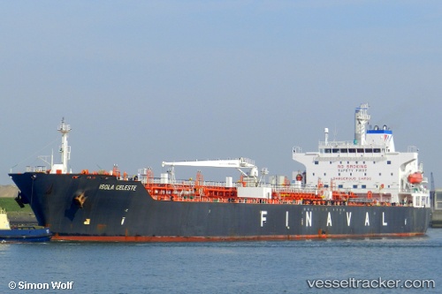
Vessel profile: HARBIYE is a Oil/Chemical Tanker with dimensions m x m.
This page combines live AIS, route history, probable destination signals, nearby traffic, and port activity for practical vessel monitoring.
The current position of vessel HARBIYE is 33.96130 lat / -12.73235 lng. Updated: 2026-05-15 21:13:47 UTCNearest reference points:
- 104 nm W of Jarjis
- 101 nm SW of Jarjis
- 25 nm SW of Jarjis
Currently sailing under the flag of Panama ![]()
Details:
Live Vessel HARBIYE Analytics (details, animations, etc.)
Recent AIS points (UTC):
2026-05-15 17:19:08 UTC · 34.08832, -12.59730 · SOG 3.1 kn · COG 268°2026-05-15 18:52:46 UTC · 34.03443, -12.65198 · SOG 2.5 kn · COG 271°
2026-05-15 18:52:46 UTC · 34.03443, -12.65198 · SOG 2.5 kn · COG 271°
2026-05-15 21:13:47 UTC · 33.96130, -12.73235 · SOG 2.9 kn · COG 279°