 vesseltracker.com
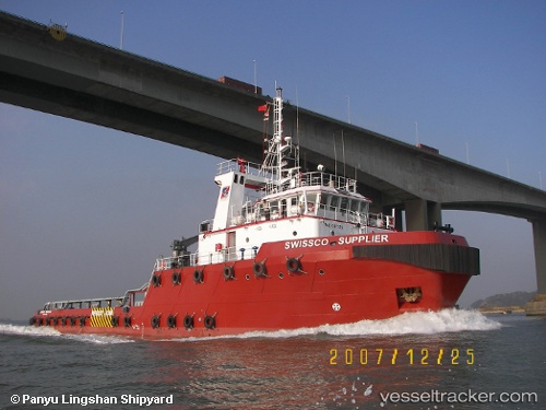
 OCEAN HURRICANE
Current Status
Where is the vessel?
OCEAN HURRICANE is currently in Near Ar Ruways, based on AIS data received about 3h ago.
Latest AIS update:
Current position: 24.19409° N, 52.76015° E (Near Ar Ruways)
Average speed (last 7 days): Loading…
Average speed (last 30 days): Loading…
Vessel profile: OCEAN HURRICANE is a Tug with dimensions m x m.
This page combines live AIS, route history, probable destination signals, nearby traffic, and port activity for practical vessel monitoring.
The current position of vessel OCEAN HURRICANE is 24.19409 lat / 52.76015 lng. Updated: 2026-05-16 10:14:52 UTCNearest reference points:
- Near Ar Ruways
- Near JABAL AZ ZANNAH
- Near Yas Island
Currently sailing under the flag of Saint Kitts and Nevis ![]()
Details:
Live Vessel OCEAN HURRICANE Analytics (details, animations, etc.)
Recent AIS points (UTC):
2026-05-16 09:37:32 UTC · 24.17147, 52.75430 · SOG 0 kn · COG 19°2026-05-16 10:14:52 UTC · 24.19409, 52.76015 · SOG 2.1 kn · COG 17°
2026-05-16 10:14:52 UTC · 24.19409, 52.76015 · SOG 2.1 kn · COG 17°
2026-05-16 10:14:52 UTC · 24.19409, 52.76015 · SOG 2.1 kn · COG 17°