 vesseltracker.com
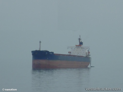
 MANDY MORN
Current Status
Where is the vessel?
MANDY MORN is currently in Near Newcastle, based on AIS data received about 2h ago.
Latest AIS update:
Current position: 32.93099° S, 151.82089° E (Near Newcastle)
Average speed (last 7 days): Loading…
Average speed (last 30 days): Loading…
Vessel profile: MANDY MORN is a Bulk Carrier with dimensions m x m.
This page combines live AIS, route history, probable destination signals, nearby traffic, and port activity for practical vessel monitoring.
The current position of vessel MANDY MORN is -32.93099 lat / 151.82089 lng. Updated: 2026-05-02 19:47:41 UTCNearest reference points:
- Near Warners Bay
- Near Caves Beach
- Near BILGOLA PLATEAU
Currently sailing under the flag of Liberia ![]()
Details:
Live Vessel MANDY MORN Analytics (details, animations, etc.)
Recent AIS points (UTC):
2026-05-02 16:22:48 UTC · -32.88663, 151.76335 · SOG 0 kn · COG 112°2026-05-02 17:46:50 UTC · -32.88664, 151.76337 · SOG 0 kn · COG 112°
2026-05-02 19:40:50 UTC · -32.91643, 151.81528 · SOG 7.3 kn · COG 159°
2026-05-02 19:47:41 UTC · -32.93099, 151.82089 · SOG 8.5 kn · COG 159°