 vesseltracker.com
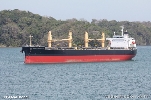
 HARMONY
Current Status
Where is the vessel?
HARMONY is currently in 20 nm W of Keti Bandar, based on AIS data received about 1h ago.
Latest AIS update:
Current position: 24.01655° N, 67.08962° E (20 nm W of Keti Bandar)
Average speed (last 7 days): Loading…
Average speed (last 30 days): Loading…
Vessel profile: HARMONY is a Bulk Carrier with dimensions m x m.
This page combines live AIS, route history, probable destination signals, nearby traffic, and port activity for practical vessel monitoring.
The current position of vessel HARMONY is 24.01655 lat / 67.08962 lng. Updated: 2026-05-13 16:07:24 UTCNearest reference points:
- 16 nm S of Kiamari
- Near PORT QASIM
- Near Kiamari
Currently sailing under the flag of Tuvalu ![]()
Details:
Live Vessel HARMONY Analytics (details, animations, etc.)
Recent AIS points (UTC):
2026-05-13 13:34:56 UTC · 24.52870, 67.06688 · SOG 10.3 kn · COG 195°2026-05-13 13:37:46 UTC · 24.52023, 67.06577 · SOG 11.2 kn · COG 195°
2026-05-13 15:26:25 UTC · 24.15957, 67.04215 · SOG 12.8 kn · COG 171°
2026-05-13 16:07:24 UTC · 24.01655, 67.08962 · SOG 13.2 kn · COG 167°