 vesseltracker.com
 FOSEP
FOSEP
Current Status
Where is the vessel?
FOSEP is currently in 28 nm NW of Sangwangdeungdo, based on AIS data received less than 1h ago.
Latest AIS update:
Current position: 35.89832° N, 125.64202° E (28 nm NW of Sangwangdeungdo)
Average speed (last 7 days): Loading…
Average speed (last 30 days): Loading…
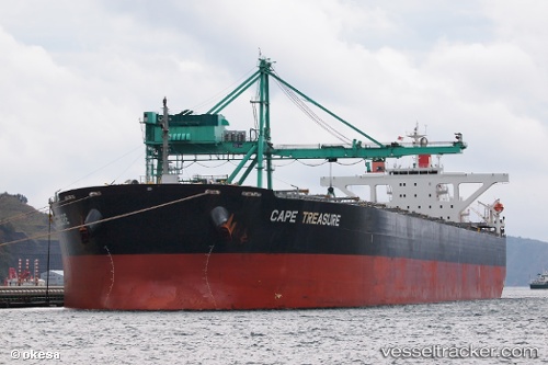
Vessel profile: FOSEP is a Bulk Carrier with dimensions 45m x 288m.
This page combines live AIS, route history, probable destination signals, nearby traffic, and port activity for practical vessel monitoring.
The current position of vessel FOSEP is 35.89832 lat / 125.64202 lng. Updated: 2026-05-15 13:12:51 UTCNearest reference points:
- 19 nm NW of Sangwangdeungdo
- 22 nm W of Biin
- Near WIDO
Currently sailing under the flag of Marshall Islands ![]()
FOSEP built in 2007 year
Deadweight:
180201 tDetails:
Live Vessel FOSEP Analytics (details, animations, etc.)
Recent AIS points (UTC):
2026-05-13 21:36:49 UTC · 35.89598, 125.63873 · SOG 0 kn · COG 16°2026-05-13 21:36:49 UTC · 35.89598, 125.63873 · SOG 0 kn · COG 16°
2026-05-13 21:36:49 UTC · 35.89598, 125.63873 · SOG 0 kn · COG 16°
2026-05-15 13:12:51 UTC · 35.89832, 125.64202 · SOG 0.5 kn · COG 293°