 vesseltracker.com
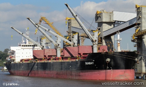
 XIN HAI TONG 16
Current Status
Where is the vessel?
XIN HAI TONG 16 is currently in 311 nm N of Cap Malheureux, based on AIS data received about 1h ago.
Latest AIS update:
Current position: 14.90515° S, 58.69618° E (311 nm N of Cap Malheureux)
Average speed (last 7 days): Loading…
Average speed (last 30 days): Loading…
Vessel profile: XIN HAI TONG 16 is a Bulk Carrier with dimensions 32m x 190m.
This page combines live AIS, route history, probable destination signals, nearby traffic, and port activity for practical vessel monitoring.
The current position of vessel XIN HAI TONG 16 is -14.90515 lat / 58.69618 lng. Updated: 2026-05-16 01:15:04 UTCNearest reference points:
- 391 nm N of Cap Malheureux
- Open sea, approx. 403 nm off the nearest listed port
- Open sea, approx. 402 nm off the nearest listed port
Currently sailing under the flag of Panama ![]()
XIN HAI TONG 16 built in 2008 year
Deadweight:
56843 tDetails:
Live Vessel XIN HAI TONG 16 Analytics (details, animations, etc.)
Recent AIS points (UTC):
2026-05-15 21:55:11 UTC · -15.24690, 58.31697 · SOG 9.2 kn · COG 46°2026-05-15 21:57:08 UTC · -15.24355, 58.32107 · SOG 9.2 kn · COG 46°
2026-05-16 00:09:07 UTC · -15.01280, 58.56933 · SOG 8.6 kn · COG 45°
2026-05-16 01:15:04 UTC · -14.90515, 58.69618 · SOG 8.8 kn · COG 44°