 vesseltracker.com
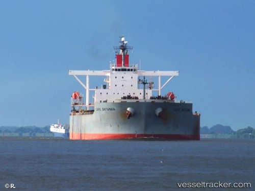
Cape Britannia
Current StatusWhere is the vessel?
Cape Britannia is currently in 12 nm W of MAILIAO, based on AIS data received about 1h ago.
Latest AIS update:
Current position: 23.71131° N, 119.95972° E (12 nm W of MAILIAO)
Average speed (last 7 days): Loading…
Average speed (last 30 days): Loading…
Vessel profile: Cape Britannia is a Ore Carrier with dimensions 45m x 292m.
This page combines live AIS, route history, probable destination signals, nearby traffic, and port activity for practical vessel monitoring.
The current position of vessel Cape Britannia is 23.71131 lat / 119.95972 lng. Updated: 2026-05-18 01:51:45 UTCNearest reference points:
- Near MAILIAO
- Near Lung-men
- Near MAGONG
Details:
Live Vessel Cape Britannia Analytics (details, animations, etc.)
Recent AIS points (UTC):
2026-05-17 22:55:58 UTC · 24.06823, 120.00055 · SOG 9 kn · COG 215°2026-05-18 00:08:25 UTC · 23.91786, 119.89107 · SOG 9 kn · COG 212°
2026-05-18 01:36:26 UTC · 23.73360, 119.92497 · SOG 8.8 kn · COG 140°
2026-05-18 01:51:45 UTC · 23.71131, 119.95972 · SOG 9.5 kn · COG 140°