 vesseltracker.com
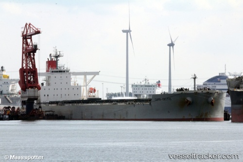
Cape Celtic
Current StatusWhere is the vessel?
Cape Celtic is currently in Near Port Walcot, based on AIS data received less than 1h ago.
Latest AIS update:
Current position: 20.55788° S, 117.31385° E (Near Port Walcot)
Average speed (last 7 days): Loading…
Average speed (last 30 days): Loading…
Vessel profile: Cape Celtic is a Ore Carrier with dimensions 45m x 292m.
This page combines live AIS, route history, probable destination signals, nearby traffic, and port activity for practical vessel monitoring.
The current position of vessel Cape Celtic is -20.55788 lat / 117.31385 lng. Updated: 2026-05-14 05:38:03 UTCNearest reference points:
- 11 nm E of Port Walcot
- 116 nm NE of Mutineer
Details:
Live Vessel Cape Celtic Analytics (details, animations, etc.)
Recent AIS points (UTC):
2026-05-14 01:34:56 UTC · -20.55782, 117.31359 · SOG 0.1 kn · COG 132°2026-05-14 03:47:02 UTC · -20.55751, 117.31397 · SOG 0.1 kn · COG 144°
2026-05-14 04:53:02 UTC · -20.55755, 117.31397 · SOG 0.1 kn · COG 139°
2026-05-14 05:38:03 UTC · -20.55788, 117.31385 · SOG 0 kn · COG 132°