 vesseltracker.com
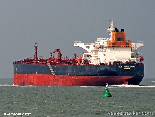
Kalahari
Current StatusWhere is the vessel?
Kalahari is currently in 115 nm SW of Nootka, based on AIS data received about 1h ago.
Latest AIS update:
Current position: 48.46928° N, 128.97890° W (115 nm SW of Nootka)
Average speed (last 7 days): Loading…
Average speed (last 30 days): Loading…
Vessel profile: Kalahari is a Crude Oil Tanker with dimensions 44m x 250m.
This page combines live AIS, route history, probable destination signals, nearby traffic, and port activity for practical vessel monitoring.
The current position of vessel Kalahari is 48.46928 lat / -128.97890 lng. Updated: 2026-05-14 22:19:55 UTCNearest reference points:
- 29 nm NW of Coal Harbour
- Near PORT HARDY
Details:
Live Vessel Kalahari Analytics (details, animations, etc.)
Recent AIS points (UTC):
2026-05-14 19:49:29 UTC · 48.47833, -129.82167 · SOG 13 kn · COG -1°2026-05-14 19:58:30 UTC · 48.48000, -129.77167 · SOG 13 kn · COG -1°
2026-05-14 22:04:30 UTC · 48.47167, -129.06332 · SOG 13 kn · COG -1°
2026-05-14 22:19:55 UTC · 48.46928, -128.97890 · SOG 13 kn · COG 90°