 vesseltracker.com
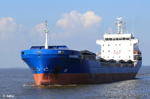
 KASSANDRA
Current Status
Where is the vessel?
KASSANDRA is currently in 27 nm NW of de Ruyter, based on AIS data received about 3h ago.
Latest AIS update:
Current position: 52.64306° N, 3.55332° E (27 nm NW of de Ruyter)
Average speed (last 7 days): Loading…
Average speed (last 30 days): Loading…
Vessel profile: KASSANDRA is a General Cargo with dimensions m x m.
This page combines live AIS, route history, probable destination signals, nearby traffic, and port activity for practical vessel monitoring.
The current position of vessel KASSANDRA is 52.64306 lat / 3.55332 lng. Updated: 2026-05-13 05:43:59 UTCNearest reference points:
- 23 nm N of de Ruyter
- 22 nm W of Schoorl
- Near de Ruyter
Currently sailing under the flag of Antigua and Barbuda ![]()
Details:
Live Vessel KASSANDRA Analytics (details, animations, etc.)
Recent AIS points (UTC):
2026-05-13 02:15:56 UTC · 53.06866, 4.17823 · SOG 9.2 kn · COG 229°2026-05-13 03:53:55 UTC · 52.89318, 3.86988 · SOG 9.7 kn · COG 220°
2026-05-13 04:05:56 UTC · 52.86737, 3.83641 · SOG 9.7 kn · COG 222°
2026-05-13 05:43:59 UTC · 52.64306, 3.55332 · SOG 10.8 kn · COG 218°