 vesseltracker.com
 CAPE CAMDEN
Current Status
Where is the vessel?
CAPE CAMDEN is currently in 21 nm N of Skikda, based on AIS data received about 1h ago.
Latest AIS update:
Current position: 37.24802° N, 6.96749° E (21 nm N of Skikda)
Average speed (last 7 days): Loading…
Average speed (last 30 days): Loading…
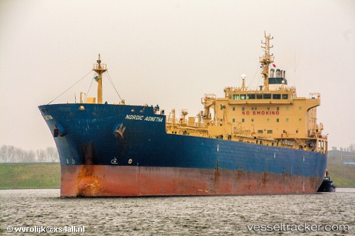
Vessel profile: CAPE CAMDEN is a Chemical/Oil Products Tanker with dimensions 184m x 27m.
This page combines live AIS, route history, probable destination signals, nearby traffic, and port activity for practical vessel monitoring.
The current position of vessel CAPE CAMDEN is 37.24802 lat / 6.96749 lng. Updated: 2026-04-02 19:39:21 UTCNearest reference points:
- Near Skikid
- Near Annaba
- Near Carmona
Currently sailing under the flag of Liberia ![]()
CAPE CAMDEN built in 2009 year
Deadweight:
37791 tDetails:
Live Vessel CAPE CAMDEN Analytics (details, animations, etc.)
Recent AIS points (UTC):
2026-04-02 13:53:18 UTC · 37.08796, 6.99654 · SOG 1.6 kn · COG -1°2026-04-02 15:22:10 UTC · 37.14523, 6.99775 · SOG 2.5 kn · COG -1°
2026-04-02 18:16:21 UTC · 37.22396, 7.00084 · SOG 2 kn · COG -1°
2026-04-02 19:39:21 UTC · 37.24802, 6.96749 · SOG 1.6 kn · COG -1°