 vesseltracker.com
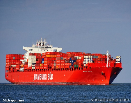
 Santa Rita
Current Status
Where is the vessel?
Santa Rita is currently in 56 nm S of Seogwipo, based on AIS data received about 1h ago.
Latest AIS update:
Current position: 32.29982° N, 126.62451° E (56 nm S of Seogwipo)
Average speed (last 7 days): Loading…
Average speed (last 30 days): Loading…
Vessel profile: Santa Rita is a Container Ship with dimensions 300m x 43m.
This page combines live AIS, route history, probable destination signals, nearby traffic, and port activity for practical vessel monitoring.
The current position of vessel Santa Rita is 32.29982 lat / 126.62451 lng. Updated: 2026-05-16 14:24:03 UTCNearest reference points:
- 75 nm S of Hwasun
- 78 nm S of Seogwipo
- 66 nm S of Hwasun
Currently sailing under the flag of Denmark ![]()
Santa Rita built in 2011 year
Deadweight:
93404 tDetails:
Live Vessel Santa Rita Analytics (details, animations, etc.)
Recent AIS points (UTC):
2026-05-16 10:43:44 UTC · 32.87344, 127.11946 · SOG 12.2 kn · COG 226°2026-05-16 12:07:04 UTC · 32.65308, 126.92656 · SOG 11.6 kn · COG 200°
2026-05-16 13:19:55 UTC · 32.44129, 126.80656 · SOG 11.7 kn · COG 219°
2026-05-16 14:24:03 UTC · 32.29982, 126.62451 · SOG 11.6 kn · COG 221°