 vesseltracker.com
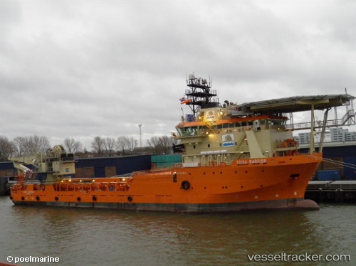
Ile Douessant
Current StatusWhere is the vessel?
Ile Douessant is currently in Near Land's End, based on AIS data received about 1h ago.
Latest AIS update:
Current position: 50.08888° N, 5.72353° W (Near Land's End)
Average speed (last 7 days): Loading…
Average speed (last 30 days): Loading…
Vessel profile: Ile Douessant is a Offshore Tug Supply Ship with dimensions 19m x 87m.
This page combines live AIS, route history, probable destination signals, nearby traffic, and port activity for practical vessel monitoring.
The current position of vessel Ile Douessant is 50.08888 lat / -5.72353 lng. Updated: 2026-05-13 13:50:06 UTCNearest reference points:
- 10 nm NW of Grampound
- 28 nm S of Porthgwarra
- Near Isles of Scilly
Details:
Live Vessel Ile Douessant Analytics (details, animations, etc.)
Recent AIS points (UTC):
2026-05-13 10:46:35 UTC · 50.08890, -5.72351 · SOG 0.1 kn · COG 301°2026-05-13 12:02:56 UTC · 50.08892, -5.72363 · SOG 0.2 kn · COG 304°
2026-05-13 13:27:55 UTC · 50.08889, -5.72356 · SOG 0.4 kn · COG 304°
2026-05-13 13:50:06 UTC · 50.08888, -5.72353 · SOG 0.6 kn · COG 305°