 vesseltracker.com
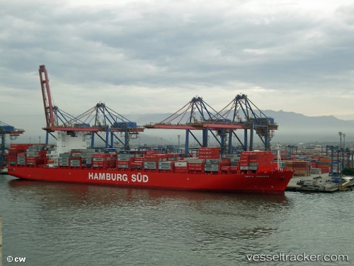
 Santa Barbara
Current Status
Where is the vessel?
Santa Barbara is currently in 138 nm SE of Malokurilskoe, based on AIS data received less than 1h ago.
Latest AIS update:
Current position: 42.76358° N, 149.57693° E (138 nm SE of Malokurilskoe)
Average speed (last 7 days): Loading…
Average speed (last 30 days): Loading…
Vessel profile: Santa Barbara is a Container Ship with dimensions 300m x 43m.
This page combines live AIS, route history, probable destination signals, nearby traffic, and port activity for practical vessel monitoring.
The current position of vessel Santa Barbara is 42.76358 lat / 149.57693 lng. Updated: 2026-05-16 17:35:23 UTCCurrently sailing under the flag of Denmark ![]()
Santa Barbara built in 2012 year
Deadweight:
92915 tDetails:
Live Vessel Santa Barbara Analytics (details, animations, etc.)
Recent AIS points (UTC):
2026-05-16 14:15:25 UTC · 43.29167, 150.31667 · SOG 14 kn · COG -1°2026-05-16 15:39:23 UTC · 43.05833, 149.99834 · SOG 13 kn · COG -1°
2026-05-16 16:36:19 UTC · 42.90833, 149.79500 · SOG 13 kn · COG -1°
2026-05-16 17:35:23 UTC · 42.76358, 149.57693 · SOG 13.4 kn · COG 228°