 vesseltracker.com
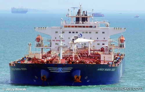
 VOKKI
VOKKI
Current Status
Where is the vessel?
VOKKI is currently in 275 nm SW of Okha, based on AIS data received less than 1h ago.
Latest AIS update:
Current position: 20.06076° N, 64.90315° E (275 nm SW of Okha)
Average speed (last 7 days): Loading…
Average speed (last 30 days): Loading…
Vessel profile: VOKKI is a Oil Products Tanker with dimensions m x m.
This page combines live AIS, route history, probable destination signals, nearby traffic, and port activity for practical vessel monitoring.
The current position of vessel VOKKI is 20.06076 lat / 64.90315 lng. Updated: 2026-04-24 14:24:48 UTCNearest reference points:
- 231 nm SW of Keti Bandar
- 262 nm SE of SUR
- 224 nm E of SUR
Currently sailing under the flag of Sierra Leone ![]()
Details:
Live Vessel VOKKI Analytics (details, animations, etc.)
Recent AIS points (UTC):
2026-04-24 10:22:34 UTC · 19.59128, 64.05001 · SOG 13.7 kn · COG 61°2026-04-24 12:25:01 UTC · 19.81873, 64.48293 · SOG 14 kn · COG 59°
2026-04-24 13:41:13 UTC · 19.97058, 64.74991 · SOG 13.9 kn · COG 59°
2026-04-24 14:24:48 UTC · 20.06076, 64.90315 · SOG 14 kn · COG 62°