 vesseltracker.com
Frieda
Current StatusWhere is the vessel?
Frieda is currently in 16 nm SW of Burnopfield, based on AIS data received about 2h ago.
Latest AIS update:
Current position: 54.01110° N, 172.50797° W (16 nm SW of Burnopfield)
Average speed (last 7 days): Loading…
Average speed (last 30 days): Loading…
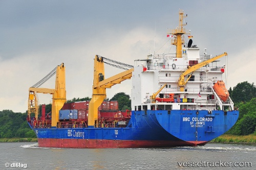
Vessel profile: Frieda is a Heavy Load Carrier with dimensions 21m x 138m.
This page combines live AIS, route history, probable destination signals, nearby traffic, and port activity for practical vessel monitoring.
The current position of vessel Frieda is 54.01110 lat / -172.50797 lng. Updated: 2026-04-05 07:14:09 UTCDetails:
Live Vessel Frieda Analytics (details, animations, etc.)
Recent AIS points (UTC):
2026-04-05 01:33:33 UTC · 54.14644, -170.56744 · SOG 14.3 kn · COG 257°2026-04-05 03:27:13 UTC · 54.06847, -171.31120 · SOG 13.8 kn · COG 257°
2026-04-05 06:10:20 UTC · 54.01232, -172.28143 · SOG 13.9 kn · COG 266°
2026-04-05 07:14:09 UTC · 54.01110, -172.50797 · SOG 13.5 kn · COG 267°