 vesseltracker.com
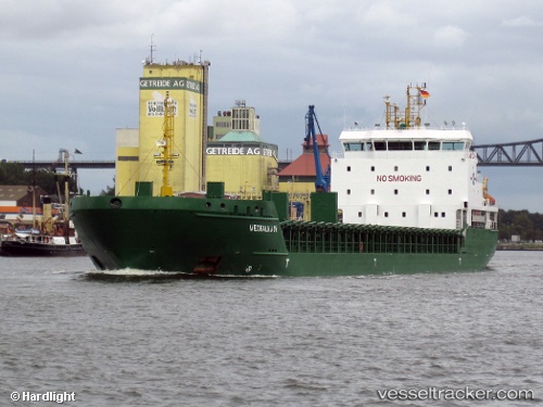
 Nyland
Current Status
Where is the vessel?
Nyland is currently in 24 nm E of Tomtbod, based on AIS data received about 1h ago.
Latest AIS update:
Current position: 57.14488° N, 19.26683° E (24 nm E of Tomtbod)
Average speed (last 7 days): Loading…
Average speed (last 30 days): Loading…
Vessel profile: Nyland is a Multi Purpose Carrier with dimensions 121m x 17m.
This page combines live AIS, route history, probable destination signals, nearby traffic, and port activity for practical vessel monitoring.
The current position of vessel Nyland is 57.14488 lat / 19.26683 lng. Updated: 2026-05-14 22:19:49 UTCNearest reference points:
- 39 nm W of Pilies juru uosto PVP/Klaipeda
- Near Cimdenieki
- 37 nm W of Vikati Sadam
Currently sailing under the flag of Cyprus ![]()
Nyland built in 2009 year
Deadweight:
6777 tDetails:
Live Vessel Nyland Analytics (details, animations, etc.)
Recent AIS points (UTC):
2026-05-14 19:45:20 UTC · 57.61784, 19.40063 · SOG 11.2 kn · COG 187°2026-05-14 20:04:49 UTC · 57.55724, 19.38528 · SOG 11.2 kn · COG 188°
2026-05-14 21:59:59 UTC · 57.20463, 19.28119 · SOG 11 kn · COG 185°
2026-05-14 22:19:49 UTC · 57.14488, 19.26683 · SOG 10.9 kn · COG 185°